June 2, 2021 - Day Twelve, Flight Three
The Bobs, Chinese Wall, Choteau - Montana

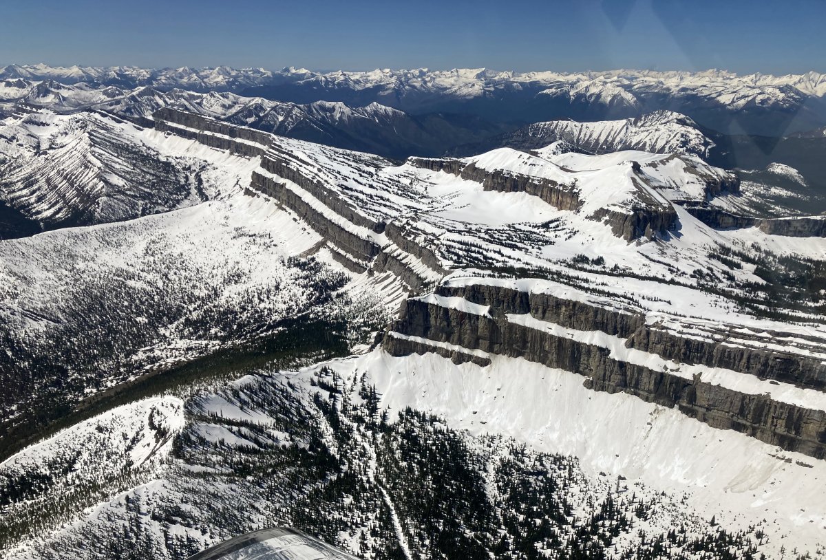
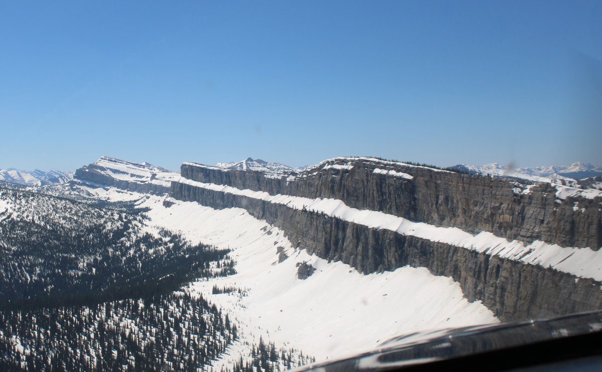
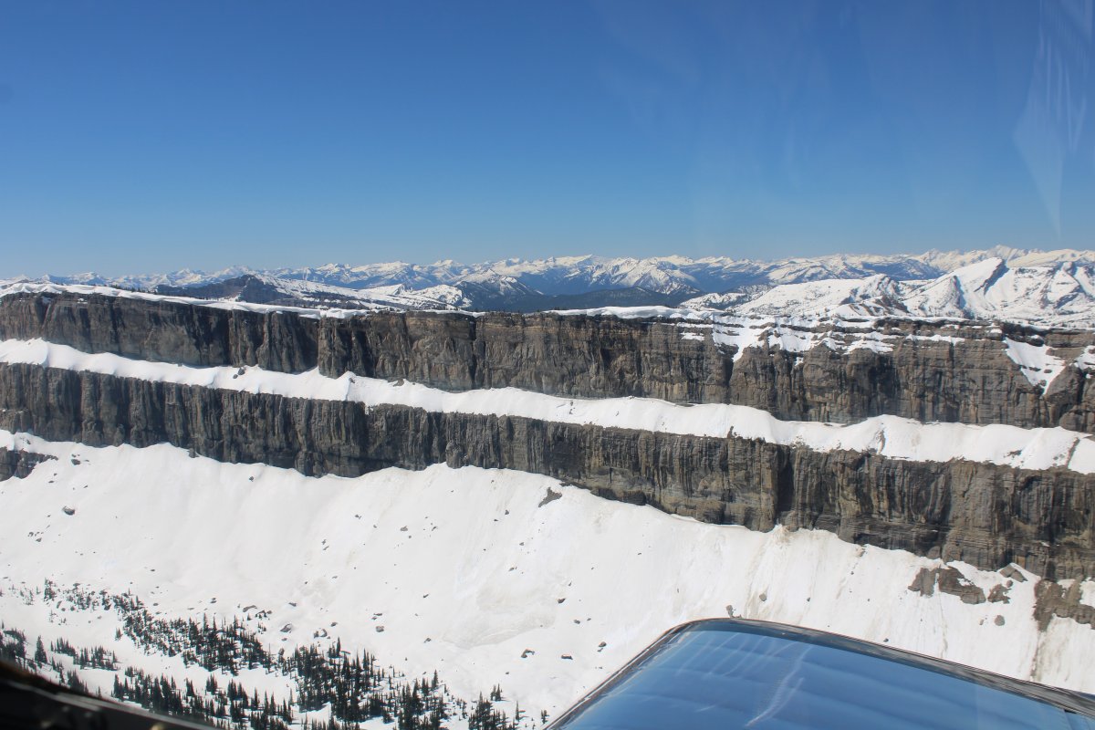
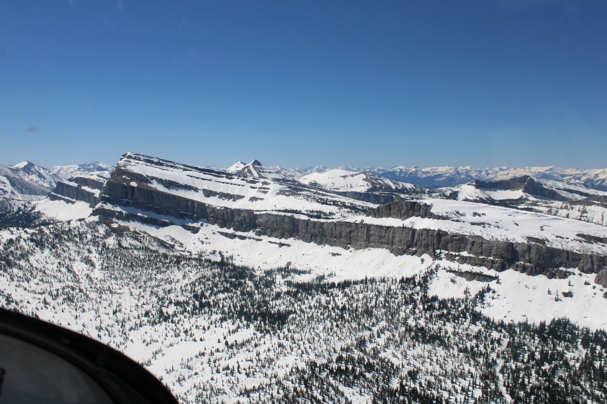
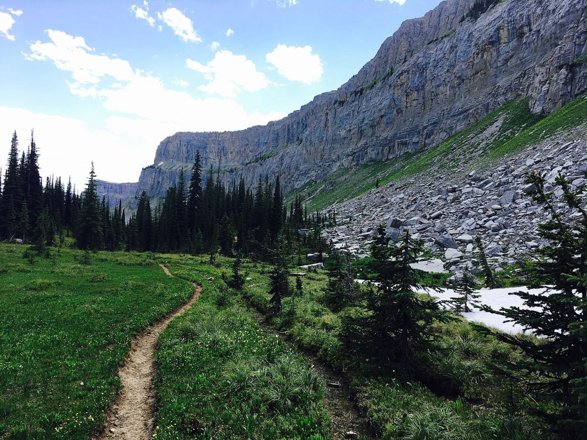
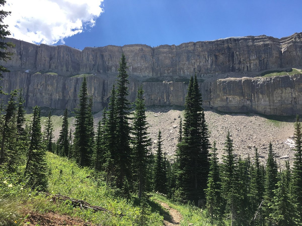
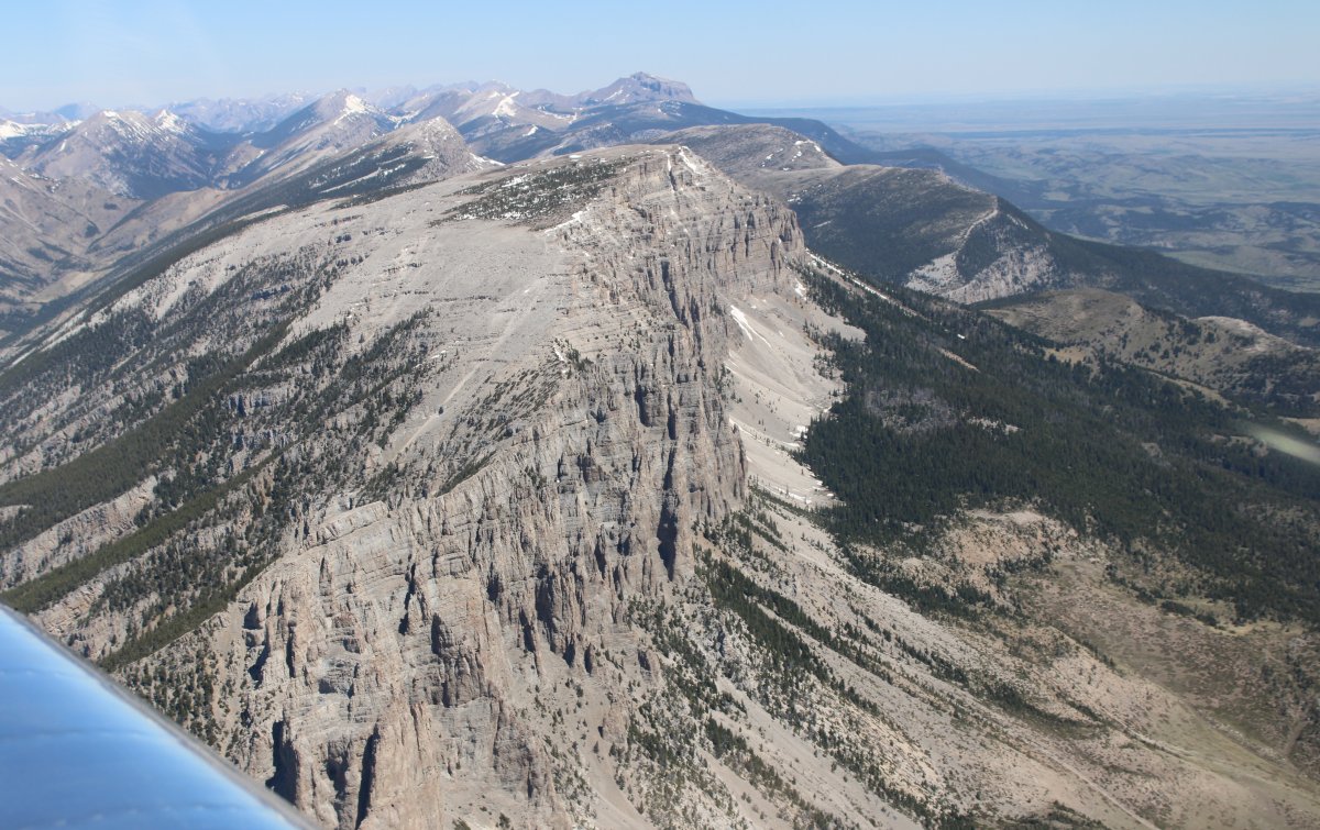
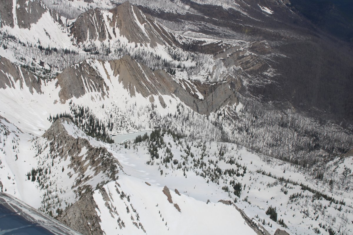
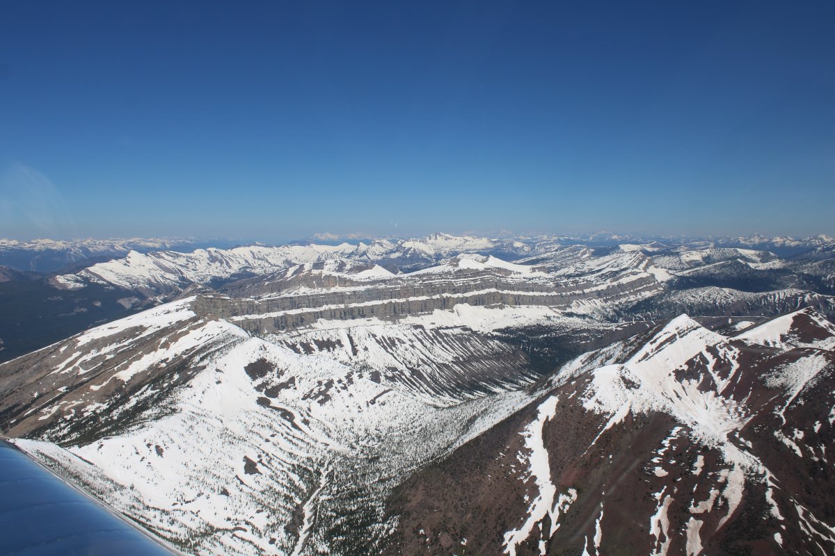
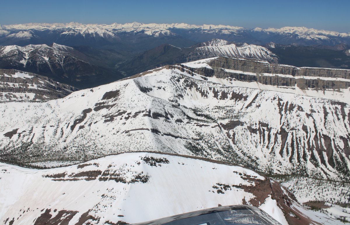
My next destination was the Chinese Wall, which is a large escarpment located in the Bob Marshall Wilderness Area in Montana. While definitions of the length of the wall vary (to up to forty miles) the part of the wall that is most well defined and continuous is about twelve miles long.  The Chinese Wall makes up part of the Continental Divide, meaning water on the different sides of the wall flow into either the Atlantic Ocean (through the Gulf of Mexico) or the Pacific Ocean.

I saw a picture of the Chinese Wall a few years ago and immediately said "Well, I have to fly that someday."

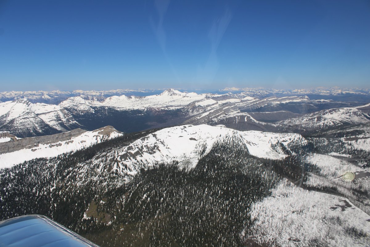
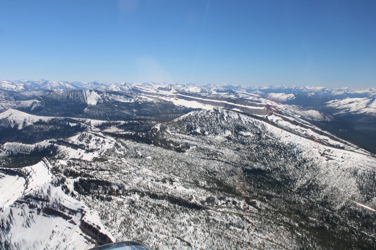
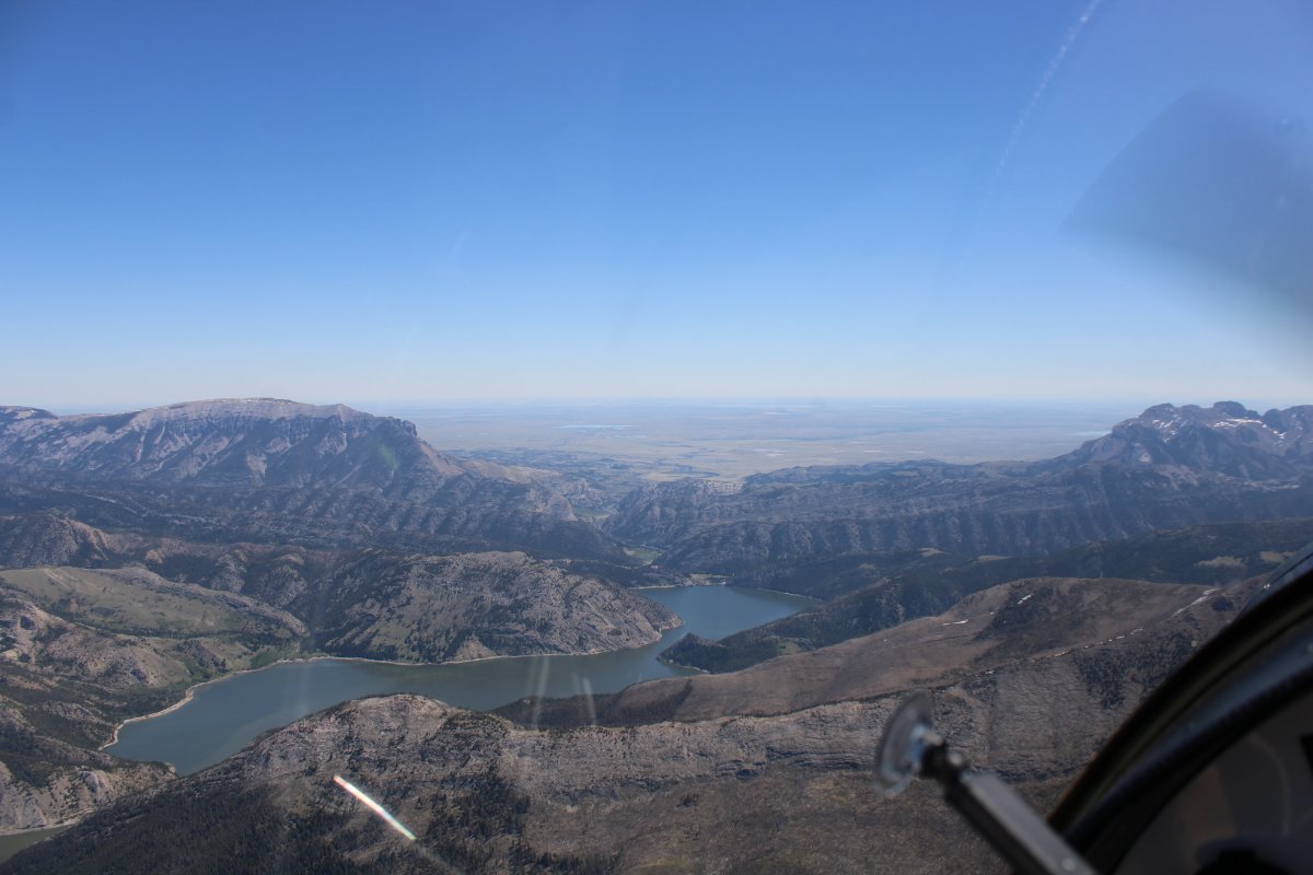
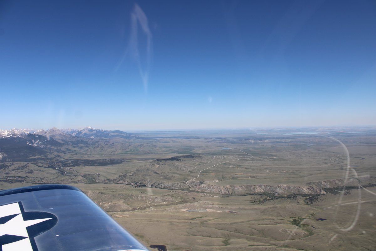
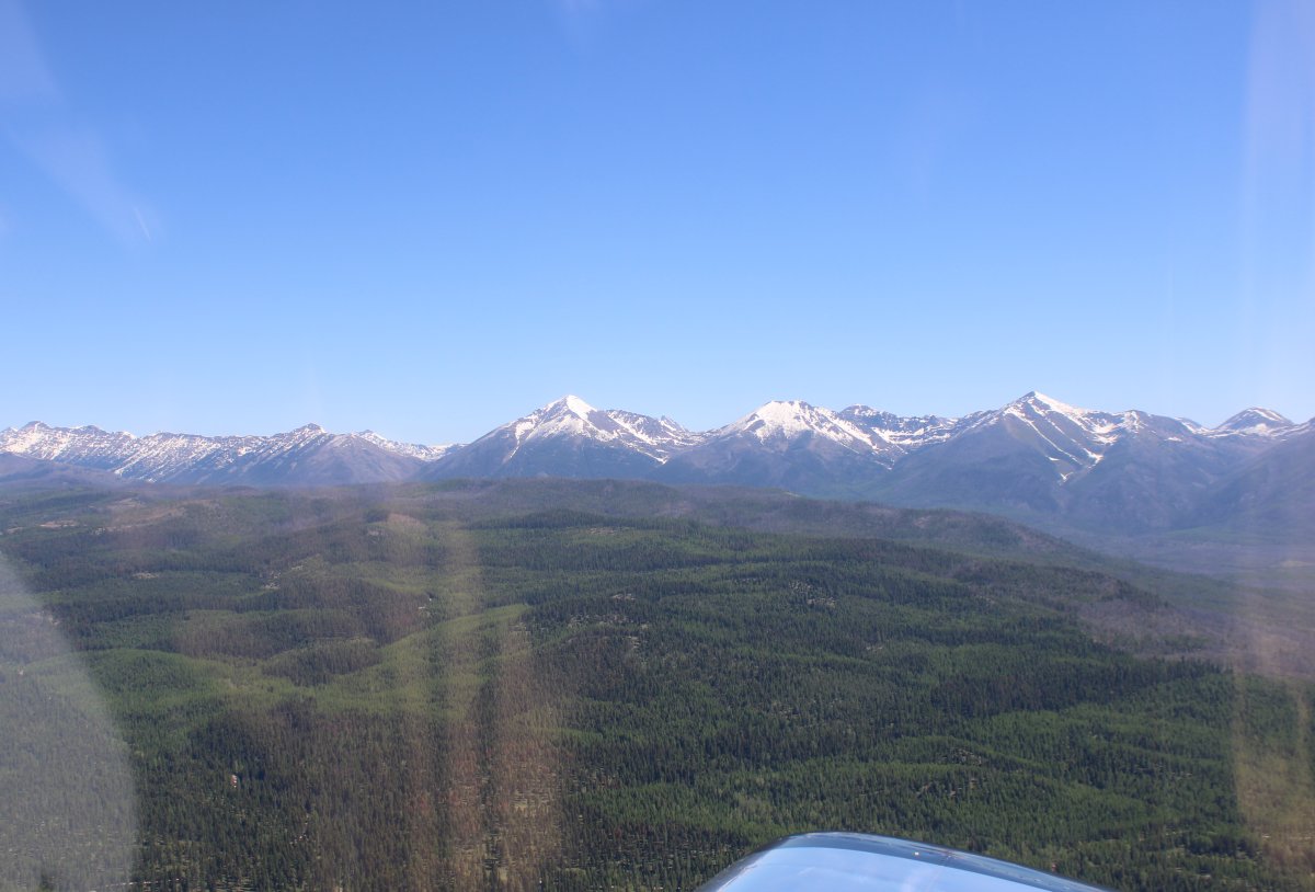
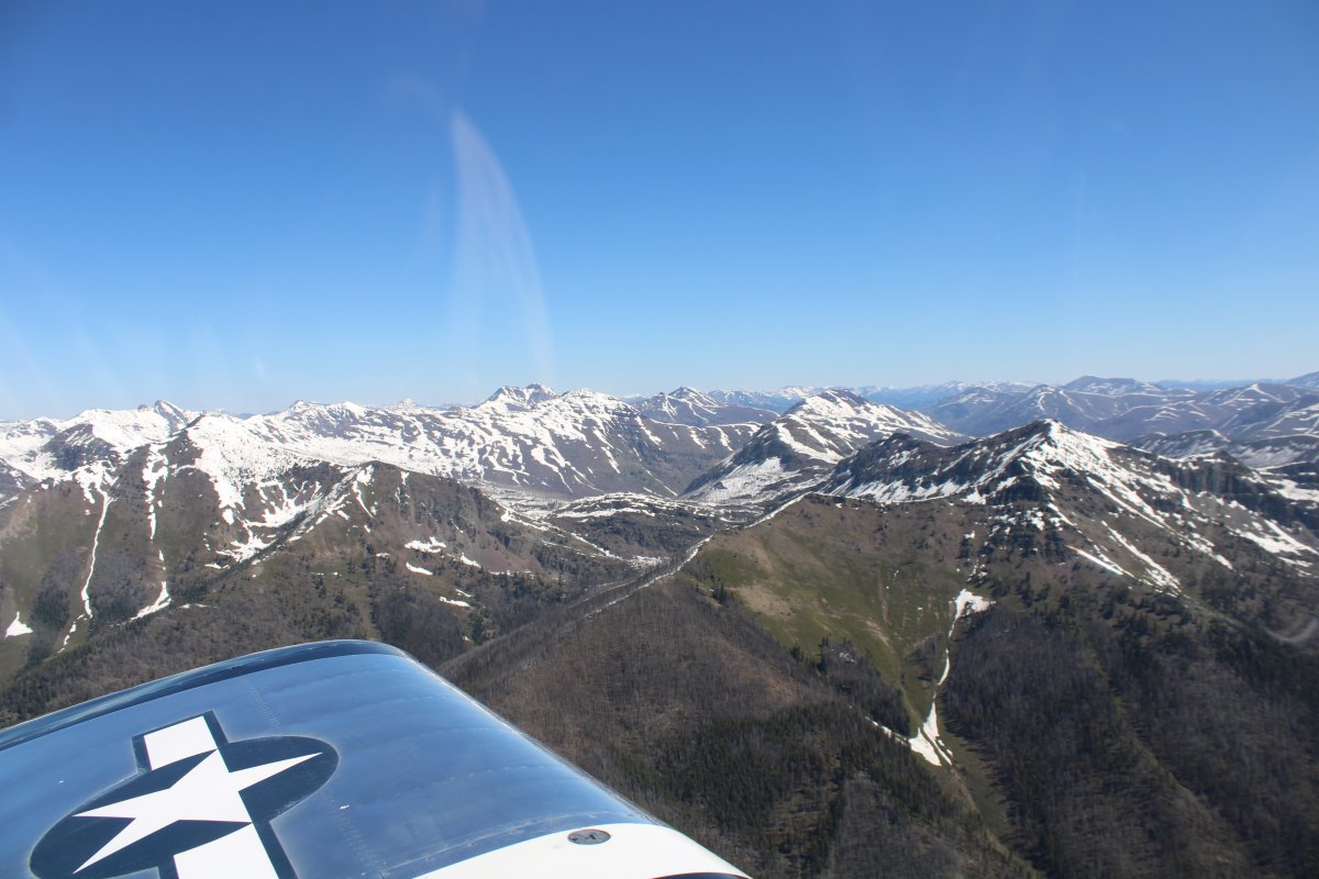
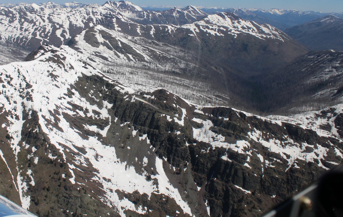
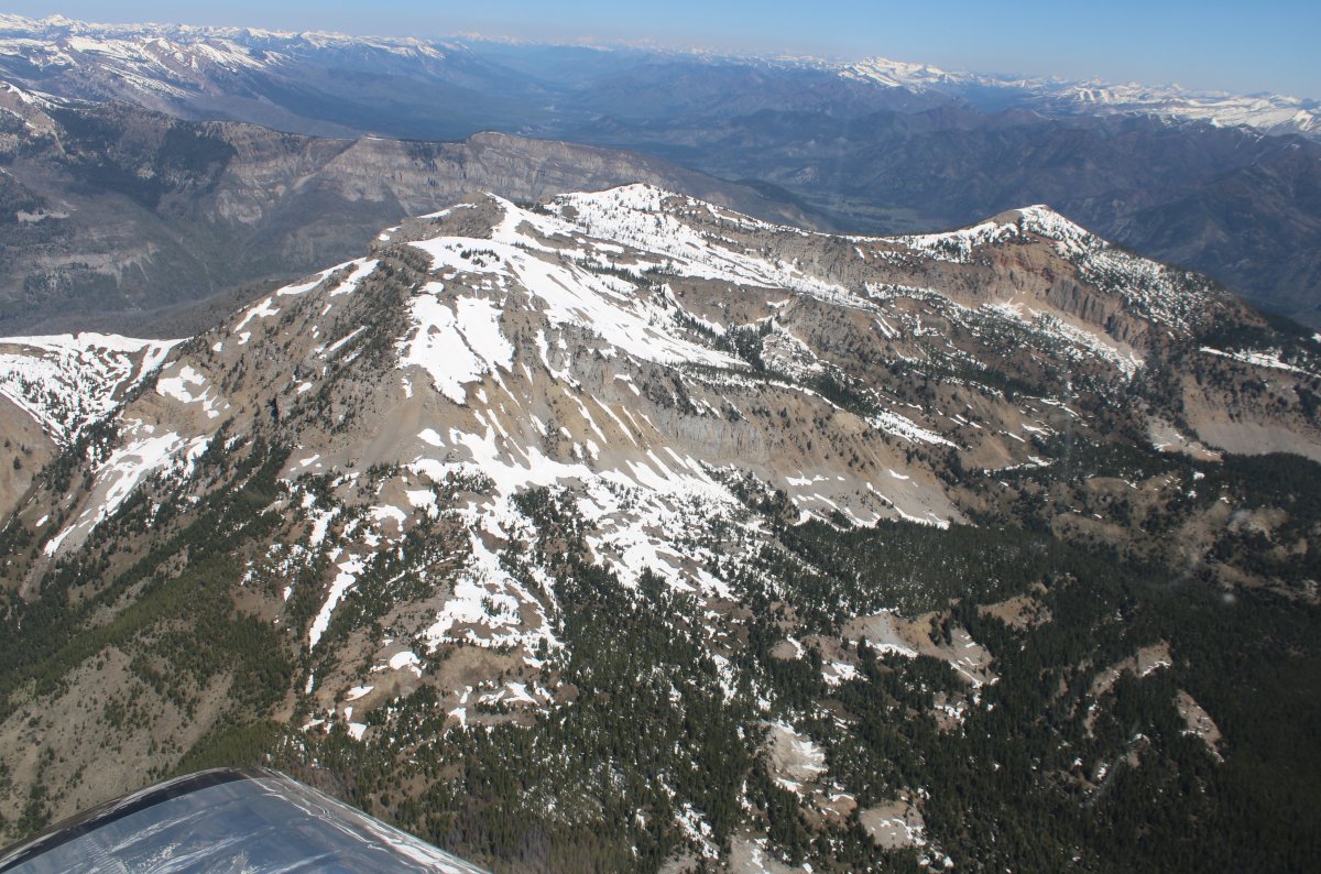
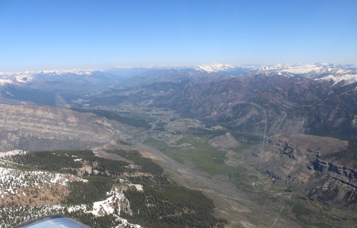
The Chinese Wall is smack dab in the middle of the Bob Marshall Wilderness area, or "The Bob", as it is known by locals and nicknamed by the U.S. Forest Service employees.  There are no roads in The Bob.  Seeley Lake is just outside the southwest corner of the Bob.   I had to fly 30 nautical miles or so northeast  to get to the Chinese Wall.  So my first order of business was to get high enough to get over those big snow-covered mountains.

   
Climbing parallel to the 8,500 - 9,000 foot mountains; almost high enough.
   
Now high enough.  I turn northwest.


Rugged country.
   
Passing by a big wilderness valley.


After awhile I came to this.   Could this be the Chinese Wall?  Looks like a wall to me.
   
Looking west at the southern end.
   
I don't know why but I had been thinking the wall would face west; but it faces east.
   
Looking west.
   

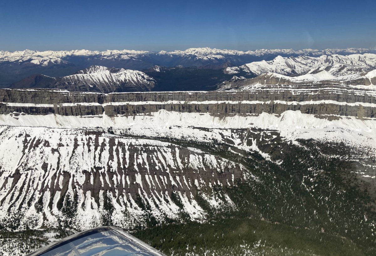
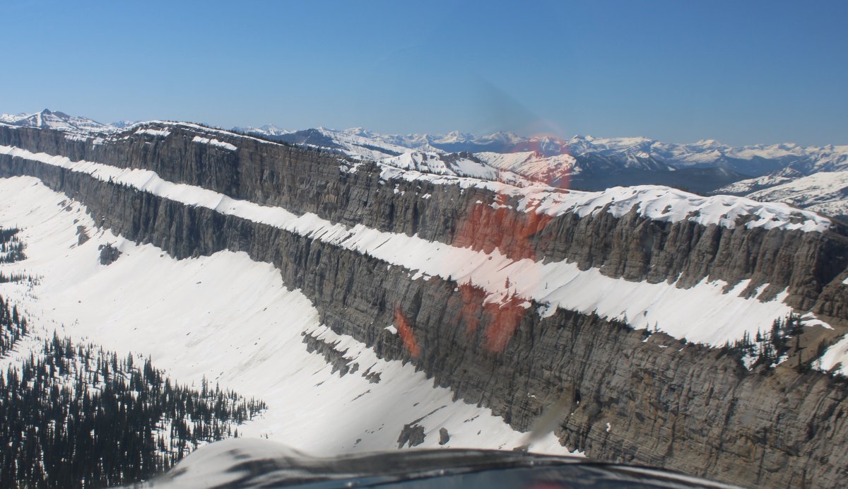
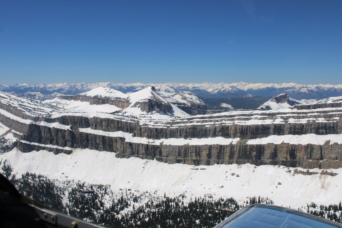
A good shot of the Chinese Wall looking south.

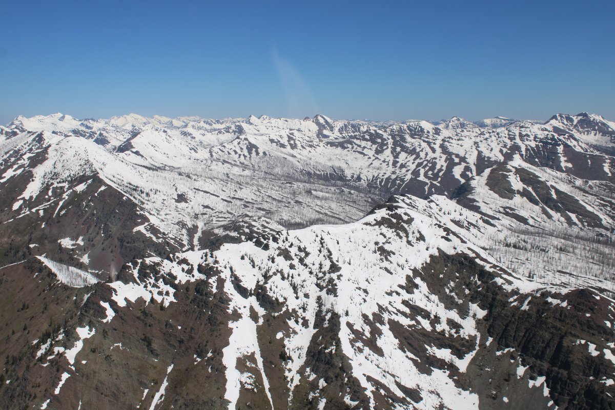
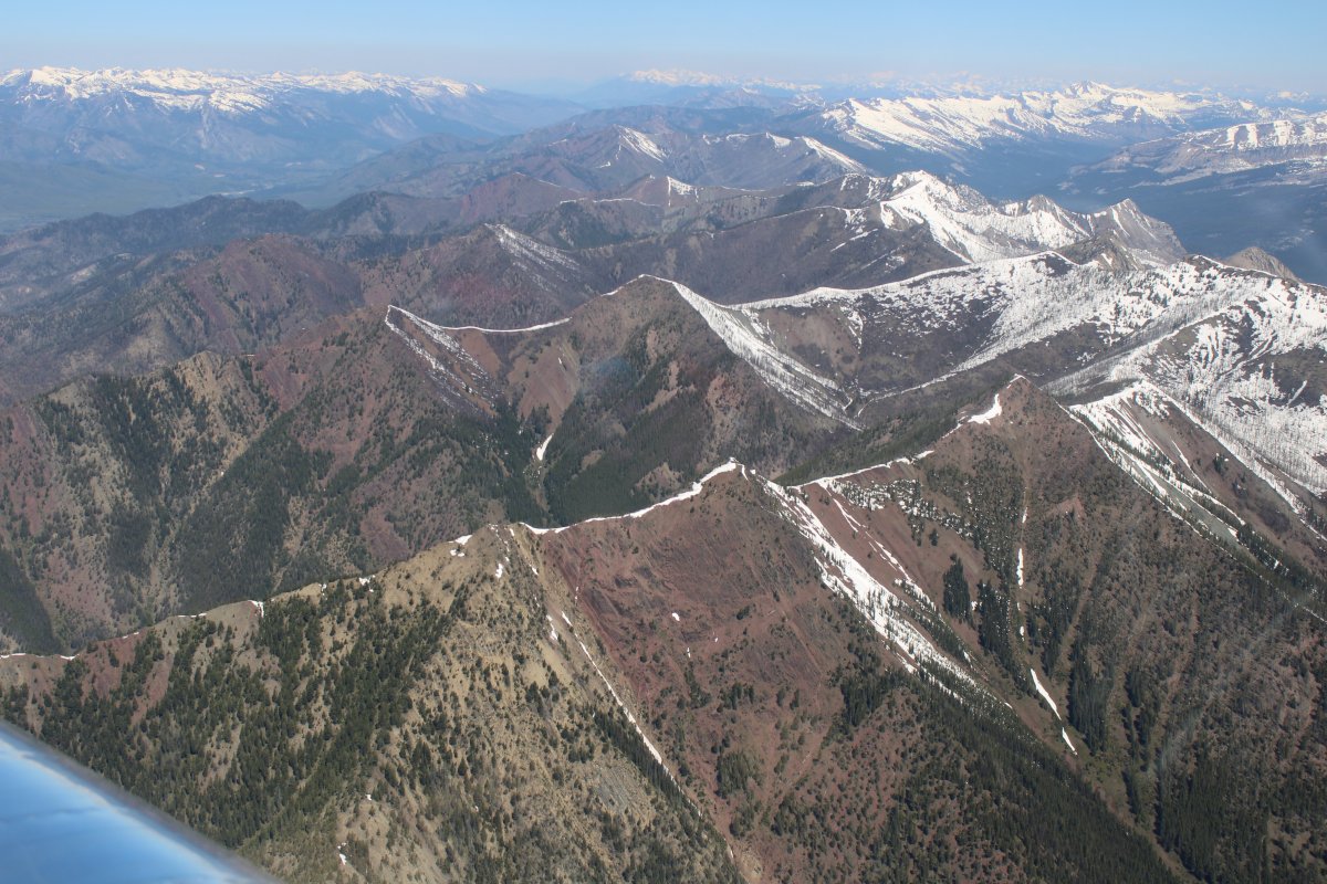
It's never what you expect.  I had pictured the wall rising from a horizontal surface; not capping off a mountain range like this.

   
Looking north where the Chinese Wall peters out.
   
Now looking south at the big picture.  The horizontal stripe of snow on the Chinese Wall makes it easy to spot.
   
Time to check out the Chinese Wall from up close!


The Chinese Wall from below looking south (in high summer).  From Wikipedia.
   
A view of the wall directly facing west.  From Wikipedia.
   
One last shot of the Chinese Wall, then I climbed and headed southeast.
   
A short distance to the east was Gibson Reservoir and beyond that flat land.
   
Looking north as I'm about to exit the Rocky Mountains.
   
Almost there.
   
And just like that, I'm out of the Rocky Mountains.  I was amazed at how quick I could go from the snow-covered mountains to the flat high desert.
   
I angled northeast towards the little town of Choteau and its airport.
   
Overhead Choteau Airport.  I landed here only two years ago, for fuel and lunch.  Today it would be just fuel. I knew they had a modern self-service fuel pump and decent avgas prices.


Previous
Home
Next